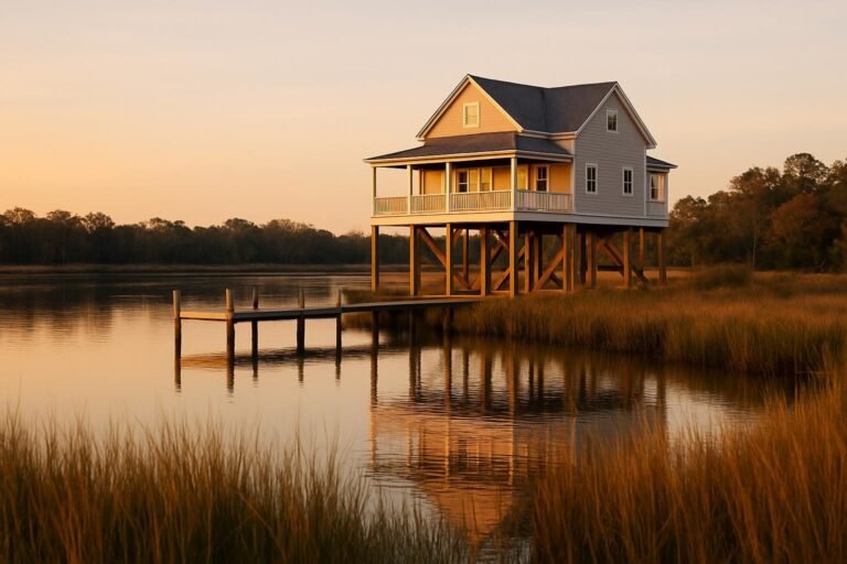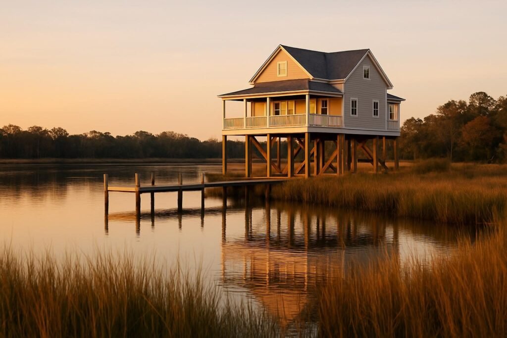
Quick answer: Flood zones in New Bern are FEMA-mapped risk areas, and a large share of the city and surrounding Craven County sits in or near them because of the Neuse and Trent rivers. Before you make an offer, look up the property’s zone on FEMA’s map, ask for an elevation certificate, and get a flood insurance quote. Do all three even if the seller says the house “never flooded.”
Key takeaways
- Flood zone labels (AE, VE, X) drive your insurance cost and, often, your lender’s requirements.
- Florence in 2018 showed that flooding here comes from rising river water and storm surge, not just rain.
- An elevation certificate is the single most useful document for pricing flood insurance.
- Standard homeowners policies do not cover flood. You need a separate policy.
- Check the zone, the elevation and the insurance quote before you fall in love with a house.
New Bern sits where the Neuse and Trent rivers meet, which is the reason the town exists and the reason flood maps matter here. Lovely water views, low ground and a tidal river system come as a package. This guide walks through how the zones work, what Florence taught us, and how to check a property before you commit. For the wider picture on settling in, see our Moving & Living Here hub and the complete guide to moving to New Bern.
How FEMA Flood Zones Work
FEMA publishes Flood Insurance Rate Maps (FIRMs) that divide land into zones based on the chance of flooding. The shorthand you will see most is the “100-year floodplain,” which really means a 1 percent chance of flooding in any given year. Over a 30-year mortgage, that adds up to a meaningful risk, not a once-a-century event.
| Zone | What it means | What to expect |
|---|---|---|
| AE | High-risk area with a determined base flood elevation | Flood insurance typically required with a federally backed mortgage |
| A | High-risk, no detailed elevation study | Insurance typically required; an elevation certificate helps |
| VE | High-risk coastal area with wave action | Highest premiums; strict building standards |
| X (shaded) | Moderate risk, between the 100- and 500-year lines | Insurance usually optional but wise |
| X (unshaded) | Lower mapped risk | Insurance optional; flooding is still possible |
Maps get revised, and a revision can move a property in or out of the high-risk category. Always pull the current map rather than relying on what a listing or an older neighbor remembers.
Zone X does not mean “safe”
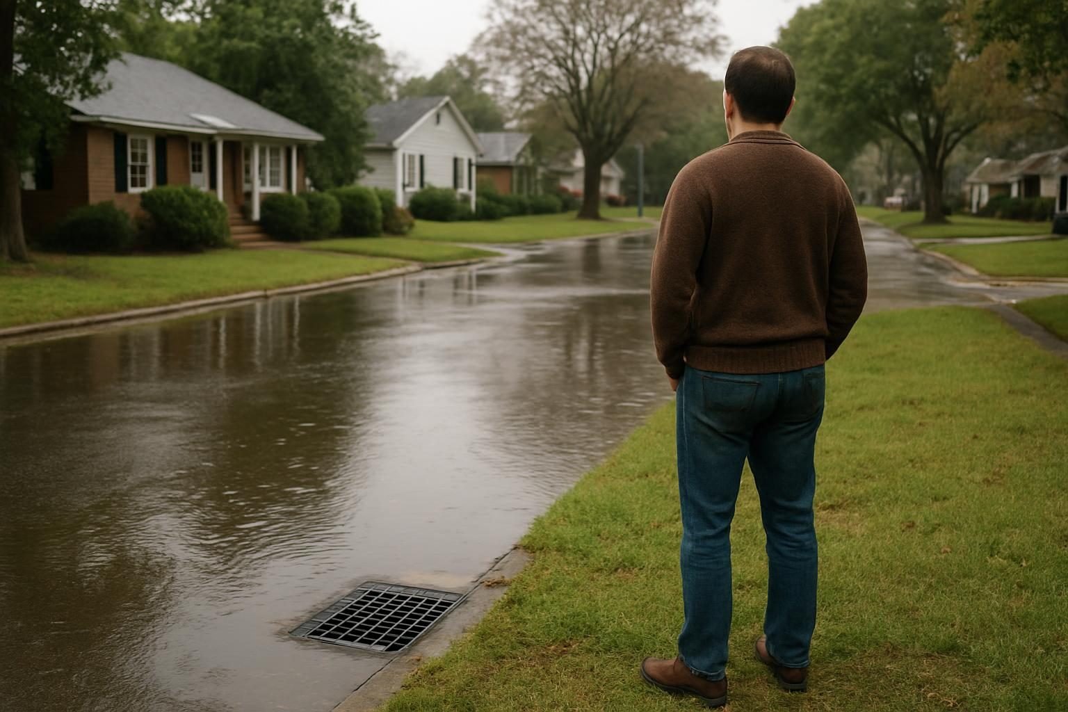
A good share of flood claims nationally come from outside the high-risk zones. Heavy rain, clogged drainage and creek overflow do not read the map. If a house sits near Brices Creek, a canal or a low spot in the yard, treat Zone X as a starting point, not a guarantee.
What Florence Taught New Bern
Hurricane Florence in September 2018 pushed storm surge up the Neuse and Trent, and water reached homes and streets in New Bern that many people assumed were fine. Neighborhoods near the rivers and tidal creeks took the worst of it, and recovery stretched for months. Many residents rebuilt, and many buyers since have been more careful about elevation.
The lesson for buyers is practical:
- Surge matters as much as rain. Water came from the rivers, so proximity to the water and ground elevation count for more than distance from the nearest creek.
- Past flooding is a clue, not a verdict. Ask what happened at this specific address, but also ask what has changed since, such as repairs, raised systems or new drainage.
- Recovery is slow. Even a few inches of water can mean gutted drywall, mold risk and weeks out of the house.
For storm planning beyond the flood question, read Hurricane Season in New Bern: Lessons From Florence and How to Prepare and the hurricane prep checklist for New Bern homes.
Where Flood Risk Concentrates in Craven County
Risk is not evenly spread, and it does not follow town lines neatly. In general, expect more exposure in these kinds of places:
- Waterfront and canal communities along the Neuse and Trent, including River Bend and Fairfield Harbour.
- Low-lying areas near tidal creeks such as Brices Creek.
- Parts of downtown New Bern close to the river and the older, lower streets.
- Rural pockets near streams and swamp edges in places like Vanceboro, Dover and Bridgeton.
Higher ground exists too, and plenty of homes in Trent Woods, James City and farther inland sit well above flood levels. Still, a single street can vary by several feet, so check the specific address. Our neighborhood guides cover the character of each area: best neighborhoods in New Bern, living in River Bend and living in Trent Woods.
A flood zone label is a starting point. The elevation of the actual house is what tells you the real story.
How to Check a Property Before You Buy
You can do most of this homework yourself in an evening. Work through it in order.
- Look up the zone. Use FEMA’s Flood Map Service Center at msc.fema.gov and enter the address. Save or print the result.
- Check North Carolina’s tool. The state’s flood risk information system, run through NC Emergency Management, shows flood risk and map details in a more detailed way. Look for the NC Flood Risk Information System on the state’s site.
- Ask for the elevation certificate. If the seller has one, read it. If not, ask the county or city whether one is on file.
- Ask about flood history. North Carolina sellers must disclose certain things, but ask directly about water in the house or crawl space and any past insurance claims.
- Get an insurance quote early. Do this before your due diligence period ends, not after.
- Walk the lot. Look at grading, drainage, where the downspouts go, and how the yard slopes toward or away from the house.
Local tip: Ask your insurance agent for a quote on the specific address while you are still negotiating. A premium that looks fine in the abstract can change the whole monthly budget once you see it.
Elevation Certificates Explained
An elevation certificate is a document prepared by a licensed surveyor that records the exact height of the building’s lowest floor, the adjacent ground and other features compared with the base flood elevation. It is more precise than a map zone, and it is one of the best tools for getting an accurate, often lower, flood insurance rate.
Two houses on the same street in the same zone can have very different premiums depending on how high each sits. If the house is built well above the base flood elevation, the certificate can prove it and save you money.
- Cost: typically a few hundred dollars from a surveyor, though prices vary. Treat that as a rough range and get a current quote.
- Who needs one: anyone buying in a high-risk zone, and anyone who wants the most accurate insurance pricing.
- Where to find one: the seller, the county or town planning office, or a local licensed surveyor.

NFIP vs Private Flood Insurance
Standard homeowners insurance does not cover flood damage. You buy flood coverage separately, and there are two main sources.
| NFIP (federal) | Private flood | |
|---|---|---|
| Who backs it | National Flood Insurance Program, FEMA | Private insurers |
| Coverage limits | Capped (commonly $250,000 on the structure, $100,000 on contents for homes) | Often higher limits available |
| Pricing | Set by a federal formula | Competitive; varies by insurer and property |
| Waiting period | Usually 30 days | Varies; sometimes shorter |
| Best for | Reliable baseline, available almost everywhere | Higher-value homes, or where it prices lower |
Check current limits and rules with FEMA and your agent, since program details change. Get quotes from both, and compare what is actually covered, including basements, crawl spaces and contents. Remember the waiting period: you cannot buy a policy the week a hurricane forms and expect it to pay.
For the bigger budget picture, including what homeowners pay for coverage here, see Cost of Living in New Bern, NC.
You cannot buy flood insurance the week a hurricane forms and expect it to pay out. Plan ahead.
Lowering Your Risk After You Buy
Even in a flood-prone spot, you can reduce exposure and sometimes your premium.
- Keep drainage clear. Gutters, yard swales and storm drains should move water away from the foundation.
- Raise or protect equipment. Water heaters, HVAC units and electrical panels sit best above expected flood height. See our note on HVAC repair and common problems in New Bern.
- Watch the foundation. Repeated moisture can stress a house; a foundation repair specialist can assess settling or damage.
- Know the cleanup steps. If water does get in, speed matters. Our guide to water damage restoration in New Bern covers what to do first, and an after-flood home checklist is on the way.
- Document your home. Take dated photos and video of every room and your belongings for any future claim.
Humidity and moisture also invite wood-damaging pests, so keep an eye out for termites in eastern North Carolina if your crawl space has been wet. If you are buying an older place, owning a historic home in New Bern has useful maintenance advice.
A Note for Military and Relocating Buyers
If you are moving here on orders to MCAS Cherry Point, you may be house hunting on a short timeline from far away. That is exactly when flood checks get skipped. Build the zone lookup and insurance quote into your search from day one, and compare areas like Havelock and inland spots against waterfront options. A rental is also a fair way to learn the area before you buy.
FAQ
Is all of New Bern in a flood zone?
No. Large areas near the Neuse and Trent rivers and tidal creeks are mapped as high risk, but many properties sit on higher ground in lower-risk zones. Check each address individually.
Do I have to buy flood insurance in New Bern?
If the home is in a high-risk zone like AE or VE and you have a federally backed mortgage, your lender will typically require it. Outside those zones it is usually optional, but still worth pricing.
How do I find the flood zone for a specific address?
Enter the address in FEMA’s Flood Map Service Center at msc.fema.gov, and cross-check with North Carolina’s flood risk information tools. Ask your insurance agent or the local planning office to confirm.
What is an elevation certificate and do I need one?
It is a surveyor’s record of a building’s lowest-floor height compared with the base flood elevation. You may need one for high-risk zones, and it can lower your premium if the house sits high.
Does homeowners insurance cover flood damage?
No. Standard homeowners policies exclude flood. You need a separate policy through the NFIP or a private insurer, and there is usually a waiting period before it starts.